Monday, May 25, 2015

Mesa Verde

Prepare to get your Ancient Puebloan on! Mesa Verde (green table) is one of the largest and best preserved sites of cliff dwellings in the world.

This statue at the visitor's center helps illustrate what life was like in part, climbing rock cliffs with  small hand and foot  holds, babies or harvest goods on their back.

Jim and I have never camped together before, or really ever. But we decided to make a go of it. The low at Mesa Verde got down to about 36 degrees. We both feel that's maybe a little  too cold to sleep outside. Also, one of our air mattresses died.  But we were not discouraged  and did camp the rest of the week across the Colorado Plateau. 

See, Green Table.

One of the ranger led tours you can sign up for is the Balcony House Tour, an opportunity  to scale the cliffs, and climb inside the actual dwelling. When I say scale cliffs, I really mean a series of ladders and steps, but pretty steep ladders and steps.
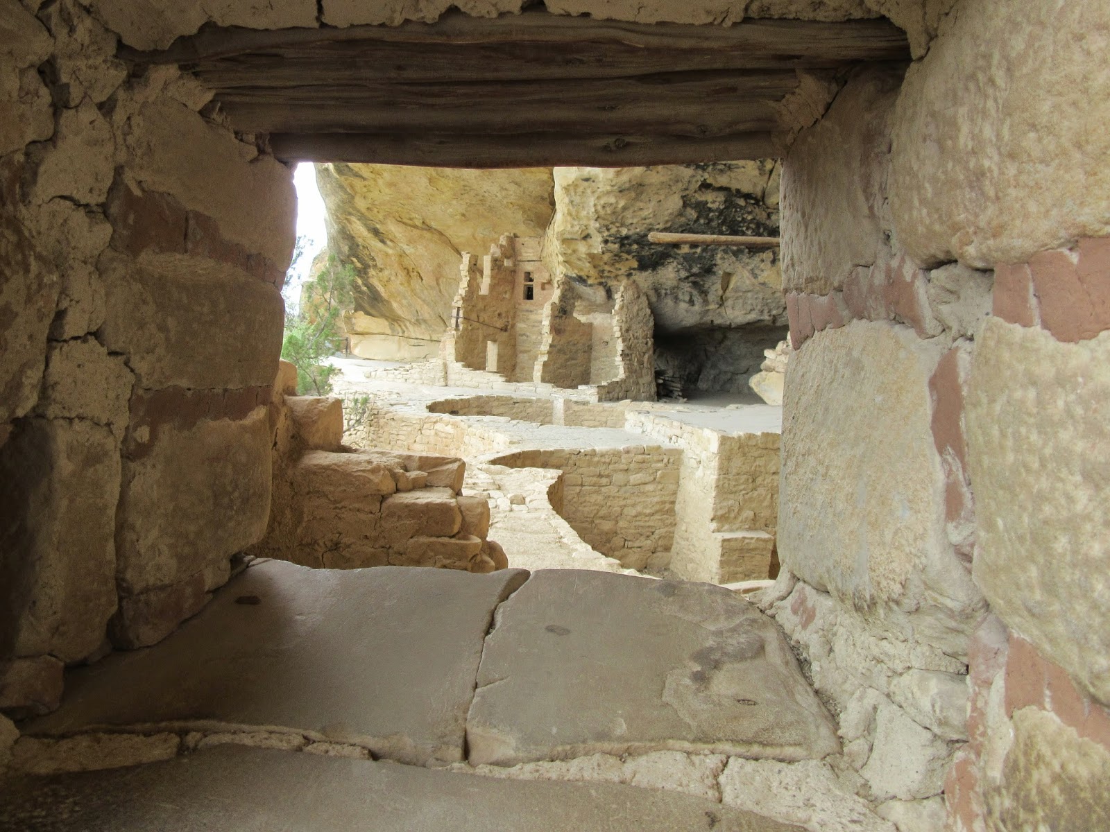
Looking through a window in Balcony House

Claret Cup Cactus, some of these desert  flowers are really colorful

View of Balcony House from across the Mesa. We were just there! 

The ladder into the Kiva at Spruce Tree House. A kiva is a round pit with a ceiling, fire pit,  and was used for spiritual and social gathering place. 

Practicing grinding corn, using a mano and metate

Us exploring Spruce Tree House

View of Cliff Palace, the largest dwelling in Mesa Verde 
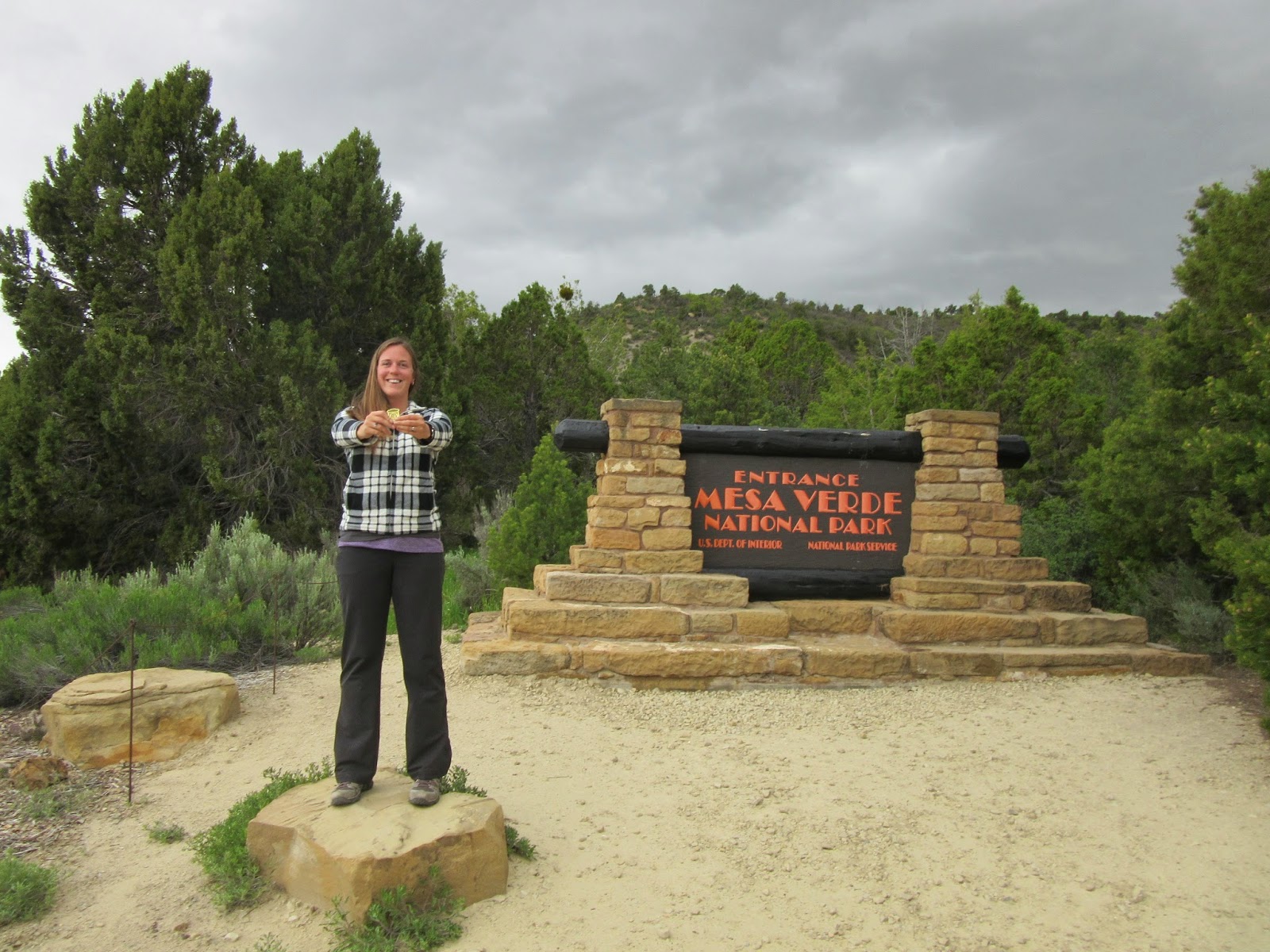
The next junior ranger badge

Wednesday, May 20, 2015

Sedona and Sunset Crater Volcano National Monument

Our second day in Arizona, it rained, all day. This is one of the driest areas of the country, and it's not monsoon season yet, but still, rain. Also, atypically 25 degrees cooler than average. What to do in the rain? Go on a scenic drive and do some responsible wine and beer tasting.

We decided to make our way to Sedona via the Oak Creek Canyon scenic drive, route 89A. The mountain switchbacks and changes in elevation keep your speed to between 35 and 50 mph, which is fine, because even on a rainy day, you can't  help but look up at the red rock

Of course, with the weather, and our camera, we can't do it justice, but if you ever find yourself in this part  of Arizona, it's  worth  a peek.

And worth a taste. Arizona boasts one of the oldest wine growing regions in the country, so we hit up 3 wineries. At winery #2, we also learned about Oak Creek Brewing Company, probably  the tasty stop in the tour. Excellent  nut brown ale, free peanuts and popcorn, and Columbian Hot Dogs, seen here, complete  with cream cheese, pineapple and crushed potato chips.

The next day, we were grateful  the sun came out, and headed out to Sunset Crater Volcano National Monument.  The volcano,  now dormant,  erupted in 900, displacing several native Ancient Puebloans tribes.  It left behind cinder rock, lava flows, and a very strange, nearly untouched terrain. Here you can see us at an elevation  of nearly 7000 ft (a vertical hike mind you),  with Lenox Crater and the San Francisco mountains in the background.

Walking the Lava Flow Trail

Pausing to hug some quaking Aspens

The Bointo Lava Flow

Looking up at the Sunset Crater cinder cone. 

 Jim  is Groot

Tuesday, May 19, 2015

That Canyon is Pretty Grand

The Grand Canyon is so big and there is so much written about it that we felt like we didn't even know where to start with visiting it.  So, we just decided that we were going to get up early, and like a lot of this trip, figure it out when we got there.


Upon driving through the entrance we were greeted with a good amount of pebble sized hail and a lot of rain.  Once we got in we ducked into the visitor center to watch the introductory movie and wait out the rain.  The movies at places like the Grand Canyon are pretty boring because it ends up being a lot of pictures of something you could just walk outside and see, but it did allow us to successfully wait out the rain.


Chrissy enjoying the view.  It is a pretty impressive sight.  While Grand Canyon is one of the most popular parks in the country, we were pleasantly surprised with how much of the trail around the rim we had to ourselves.  It will probably pick up once school let's out and the summer season starts.


We managed not to get caught in any more rain while we were visiting, but there were some pretty ominous clouds from time to time over the canyon.  The way you can watch the weather and clouds and shadows change is one of the cooler parts of the place.


Obligatory shot of us together.


Something that's not the giant hole in the ground.


We walked about 600 feet down into the canyon which is only a portion of the mile or so all the way to the bottom, but it was still a pretty steep hike.  We met some people on their way back up that hiked all the way down and slept at some of the campsites at the bottom which was cool.


In our opinion the views that have the Colorado River (that created this whole thing) are the nicest.  Our camera has a setting called "super vivid" that sometimes creates cool shots that make the color pop more.


With the rain in the area we did eventually catch the full arc of a rainbow.


Before we left we decided to stop at desert view which is about 25 miles along the rim from the main visitor center.  It has this 70 foot tower built in 1932...


And our favorite view of the entire canyon that we saw.  However, the lighting wasn't the best for a picture at that point.  All in all the Grand Canyon has a lot of hype but it is definitely a place that's worth the visit at least once.

Sunday, May 17, 2015

New Mexico

From Oklahoma to New Mexico  with about a 10 degree temperature drop. First stop, Tucumcari,  on old historic Route 66. Tucumcari is a small town, with probably a mural for every 10 people in town, check these out:


From Tucumcari to Pecos National Monument,  a historic Pueblo just outside Santa Fe

Junior Ranger Badge #4

In Santa Fe, we had the chance to take a cooking class at a school that Jim has been following for years, since he bought the Red Chile Bible cook book in Sand Diego. This live demo cooking course included fresh flour tortillas, Chile rellenos, calabacitas  (a delcious corn , squash, and green Chile side dish), marinated pork, beans, and sopapillas (New Mexican Fried dough with honey). Delicious. 

On to Bandalier National  Monument  to explore more pueblos, and practice our squirrel impression

The Bandalier pueblos are built into cliffs out of tuff, a soft volcanic rock. You get to climb over 140 feet of ladders to explore them

Almost to the top, pause to take a breather and admire the view 

The views while driving the American southwest  are just so different from what we're  accustomed. BIG sky, weather in 3 dimensions. We called this one "Clountain"

Posing in a hot air balloon basket at the Albuquerque Abruzzo Hot Air Balloon Museum

Not very far from downtown Albuquerque,  Petroglyphs National  Park. This volcanic landscape is full of vesicular basalt that has been corroded by atmospheric elements. Ancient Puebloans  scratched different pictures, or petroglyphs into the surface. They had now written language, so the true meanings of the petroglyphs is unknown, but they are everywhere in this peculiar landscape.

Senior Ranger badge and patch... Petroglyphs thought I was too old to be a junior ranger.

Wednesday, May 13, 2015

Oklahoma, Okay!

Trepedaciously, but informed, we headed into Oklahoma. We had to work and try to stay in between two big storm systems whipping through tornado alley. When we crossed the border  from Arkansas into Oklahoma,  the sun was shining  and we listened to Surrey  with the Fringe on Top (from the musical Oklahoma!). I did not remember all the words.

This is what it looked like by the time we got to Oklahoma City. We only had to pull over once to wait out some epic rain, and luckily, no tornadoes developed from this system, though watching OK weather men and their radar systems in fascinating. We bedded down for the night and then headed out early to see a few things before getting out of the way of the second round of storms.

We started at the National Cowboy and Western Heritage Museum, which is massive. Things are definitely bigger the further west you get. One of their special exhibits this month  is Madonnas of the Prarie. Fabricated images of women in the west as advertisements for people to homestead from the mid-1800's on.

They even have a replica side saddle so I could pose. Christiana of the Prarie.

As the museum is massive, it has a full replica of a wild west town. Here's Jim at the saloon.

One of the saddest pieces of art we've seen in a while, this is named the end of the trail, a heart wrenching reminder of how the west was won and who it had to be won from.


On to nearby El Reno for the local quisine, fried onion burgers. A culinary tradition dating back to the great depression  when stretching beef rations was the only way to stay in business,  the thin beef patties are served on a tasty bun, with about equal weight of griddled onions, delicious.

Though Route 66 is now defunct, thanks to the Eisenhower Interstate system, you can still visit kitschy stretches in this part of the country (OK, NM, AZ). The original Route 66 connected Chicago and LA, and enjoyed it's hay-day back in the 20's. Here we visit the Elk City National Route 66 Museum Complex.